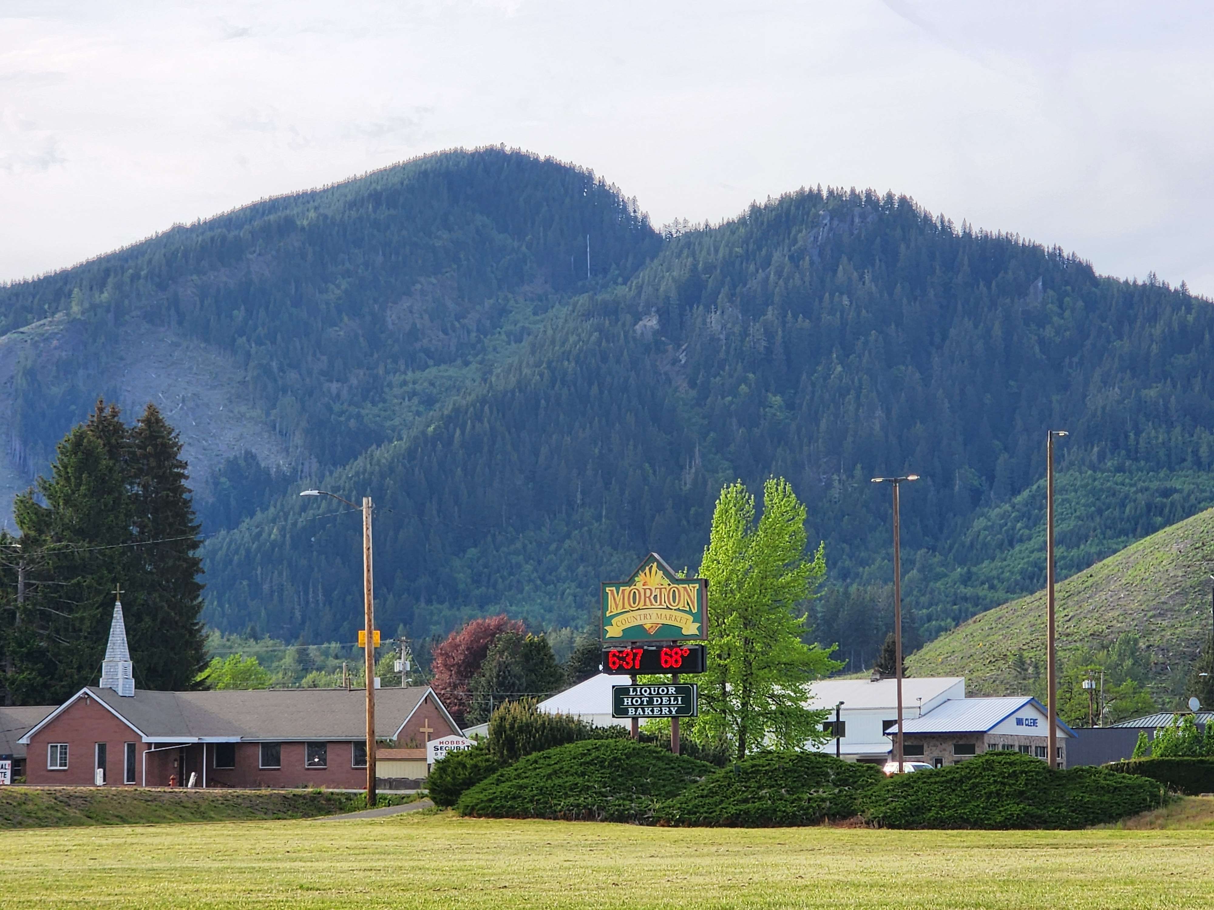

Hopgood Rock Park, named after the most prominent and iconic mountain overlooking the town of Morton, would encompass both dramatic peaks and peaceful creeks and rivers. It would include many miles of nonmotorized hiking, horseback riding, and mountain biking trails* ranging from easy walks to longer hikes to the top of mountain peaks, and could even accommodate a new tent campground. Access would be via several trailheads located at Gust Backstrom City Park, Highway 508, and from several National Forest Roads which pass through the area.
Considering the intensive logging and plantation forestry which dominates the area currently, significant restoration would be necessary. This would largely consist of commercial thinning of preexisting plantations over the next 20 to 50 years, along with strategic planting with a diverse range of trees and shrubs. This would be combined with the establishment of native prairie openings on hills, ridges, and mountain peaks, both to help restore an ecosystem, only 3% of which remains in Western Washington, and to provide an attractive environment for outdoor recreation.

The area described here is very much conceptual and would almost certainly be subject to change prior to any finalized plan. It was drafted with several key factors in mind, such as accessibility from existing public highways and forest roads, proximity to the center of Morton, the scenic value of landforms to the backdrop of the town, and the potential for desirable trail destinations within the park. Also considered was the need to ensure an immersive visitor experience, with the park’s boundaries encompassing key watersheds. An additional benefit of such design choices is that they also better encompass ecosystems and natural boundaries which define wildlife habitat and migration corridors.
Briefly describing the layout of the trail system, the main access point to the new park would be via a suspension bridge across the Tilton River from Gust Backstrom City Park. This both provides residents of Morton with easy access to an extensive trail network within walking distance of their homes, and encourages visitors to spend extended periods of time in the town of Morton itself. Additional trailheads could be located along SR508 West of Morton, along SR7 North of town**, along NF-7001, and along NF-7301 where it crosses a mountain pass.

“Morton Hill Trail” would climb from Gust Backstrom City Park to the summit of a low hill overlooking the town. This summit would be among the locations converted into native prairie, its boundary planted with Oregon White Oak, birch, and aspen. From here the trail would descend to an intersection with what is currently known as the “Toby Mine Road”, where it would branch off into two other trails. The second trail of note would be the “Tilton River Trail”, which would parallel SR7 on the Western side of the Tilton River, running from the Gust Backstrom Suspension Bridge to NF-7001 near the Northern boundary of the park. A connector trail from the “Tilton River Trail” would link in with the “Morton Hill Trail” at its junction with the trail to the top of the park’s namesake, Hopgood Rock. This trail would ascend steeply to the mountain peak, offering a real workout. It would then follow the summit ridge before descending back down to a trailhead on SR508.

There would also be a trail following Connelly Creek between NF-7301 and the Tilton River Trail, as well several connector trails enabling numerous loop hikes. The NF-7301 pass would feature both a connection to the “Hopgood Rock Trail”, and a separate hike to an unnamed summit near the Western park boundary. There is further potential for an additional nature trail along SR7, next to the Tilton River.
Further native prairie would be established at the summit ridge of Hopgood Rock, at points along its flanks, at the summit of the unnamed Western peak, and at the NF-7301 pass. That pass would be an excellent potential location for a tent campground, and backpacking camp sites could be established along Connelly Creek. The aforementioned trail system would be exclusive to hikers and equestrians, with a separate trail system for mountain bikes that could also be established circling the flanks of Hopgood Rock and along the Northern bank of Connelly Creek.
In keeping with the minimalist nature of my proposed parks program, these trails would be user-built and maintained***. The State would establish a rough guideline for the placement of these trails, and the concept would be to mirror the boot-beaten trails which typify remote areas of National Forests. In other words, the idea here is to allow visitors to step from town into what feels like the heart of the wilderness, and traverse that wild area immersed in forest and mountains before returning to a bustling mountain town.

*Mountain bike trails would utilize a separate trail network (not shown on map) to avoid conflicts with other trail users.
**A second bridge over the Tilton River would be necessary for year-round access from a trailhead on SR7.
***Pit toilets, tent campgrounds, and significant bridges would be maintained by the state.
Leave a Reply